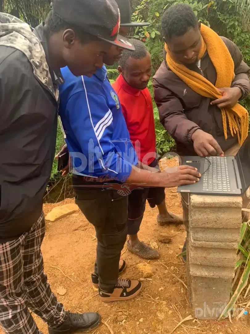
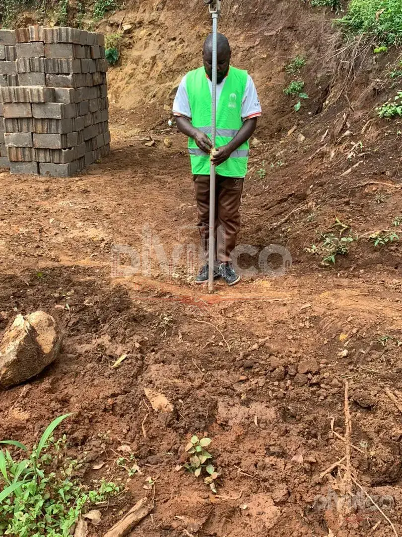
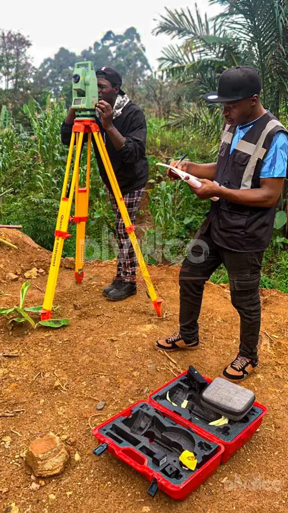
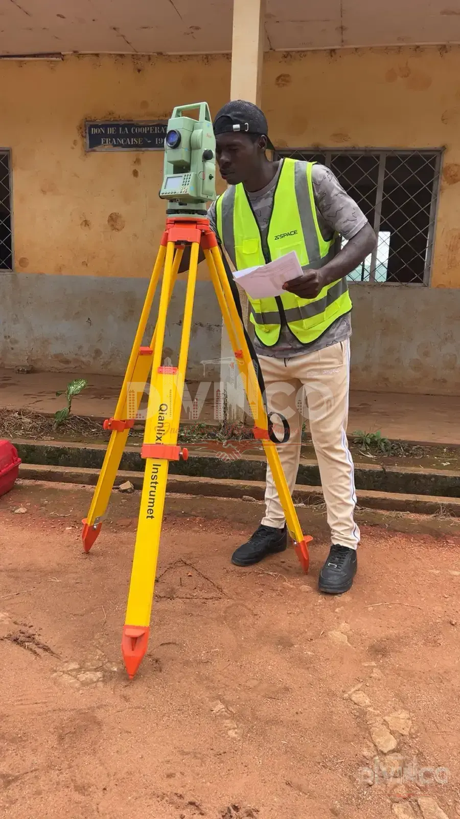
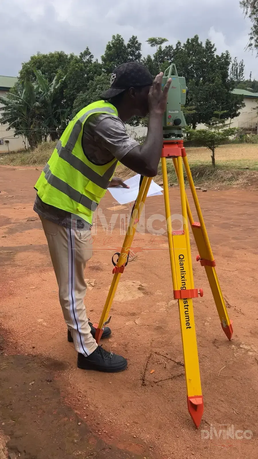
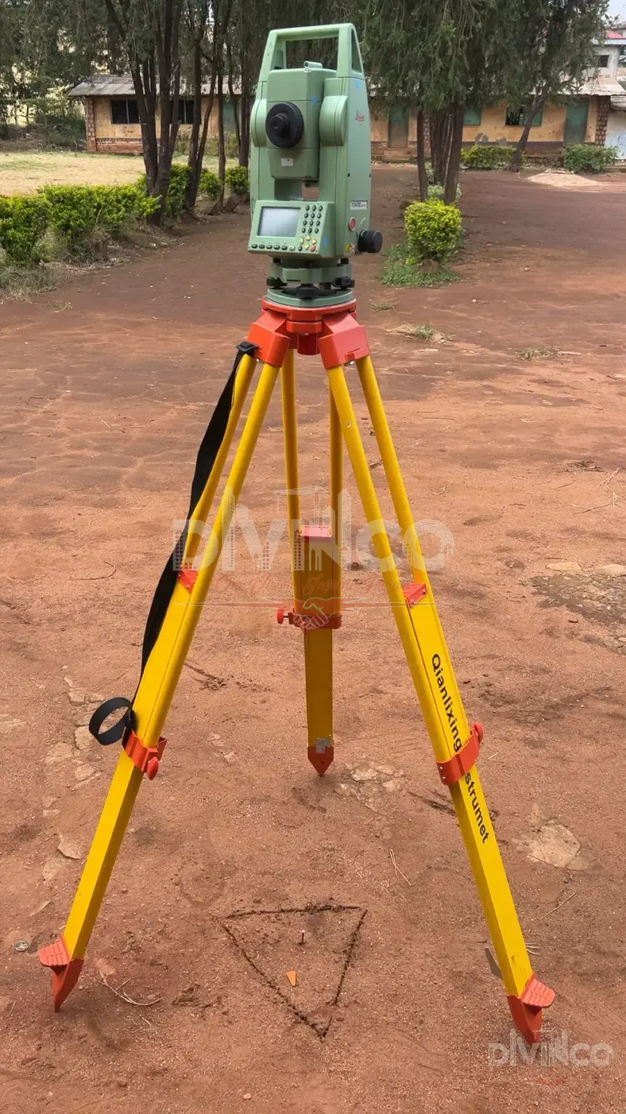
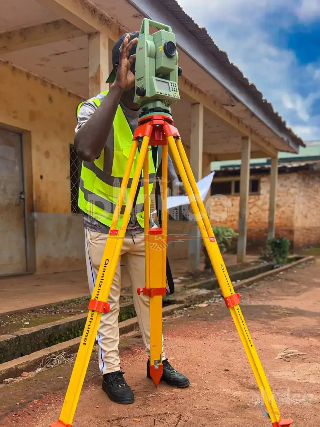
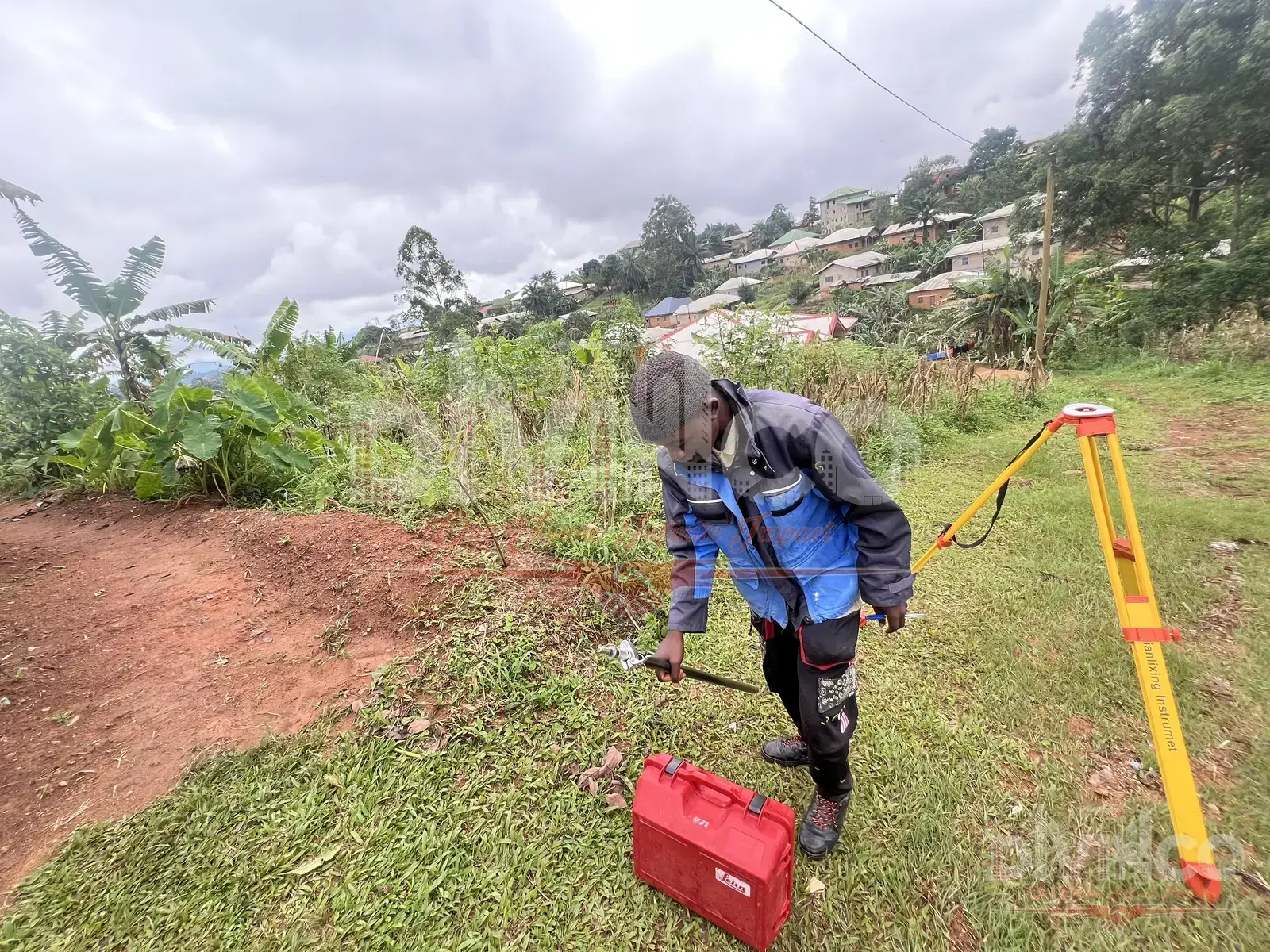
Topographic, GPS, boundary and subdivision surveys, plus construction staking and office computation — precise, certified data for your plot.
Topographic, GPS, boundary and subdivision surveys, plus construction staking and office computation — precise, certified data for your plot. Contact our team to discuss how this service fits your project — we'll advise on scope, timeline and cost, and coordinate it with the other disciplines your build needs.